Tiled JPEG Base Map
High resolution raster base map.
File Name: BOS_[Tile Name]_Groundplan_2011.jpg
Format: JPEG
Updated: Most of the features were observed in 2011. Building footprints updated July 2020
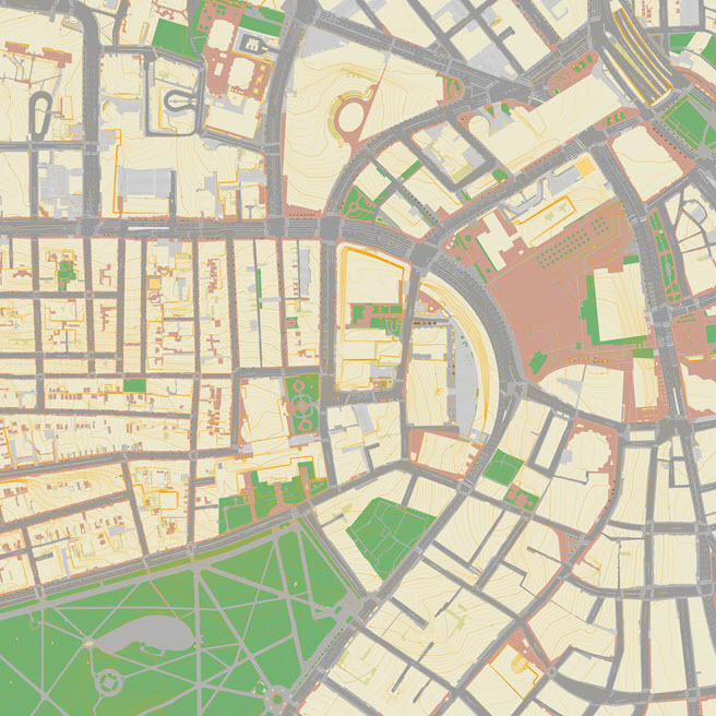
Dataset Description
The 2011 Base map layer provides a reference map showing paved and planted areas, street names, pavement markings. In all, 20 layers from the Boston GIS were graphically ordered and styled and then clipped to each tile boundary. The original layers were developed from stereo photogrammetric methods, with a precision of about six inches.
Areas outside the Boston city Limit are filled in with base map data courtesy of MassGIS.
The cell size of the base map layer is one foot per pixel.
Usage Notes
- These images have extents that align precisely with the tile boundaries of Metro Boston 3D Tile Grid. This allows them to be easily and precisely registered with terrain and sketchup models.