Tiled Orthophoto 2021
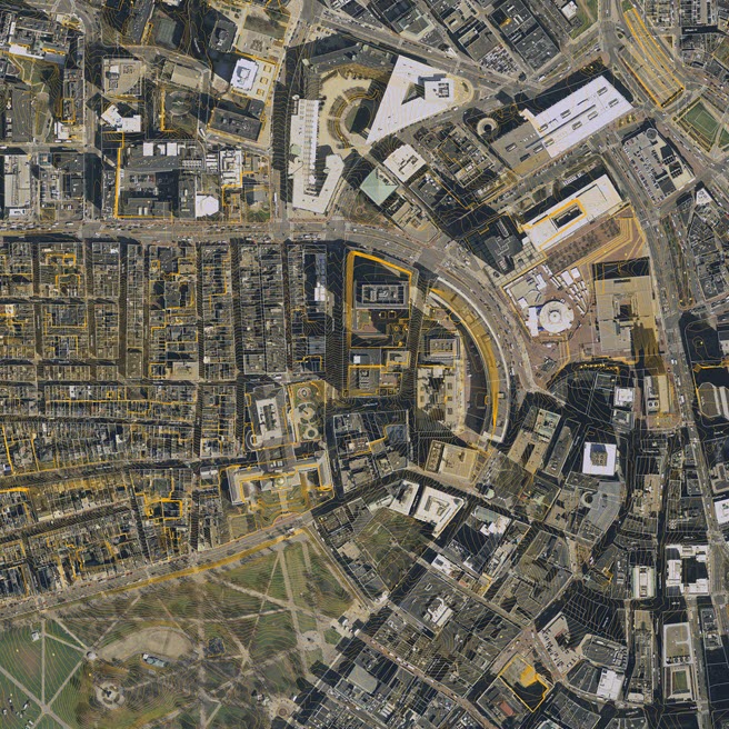
File Name: BOS_[Tile]_Aerial_2021.jpg
Format: JPEG
Updated: Spring 2021
Dataset Description
The tiled aerial photo layer is a true color, true-ortho rectified aerial photo with a pixel resolution of one foot per pixel.
Made from a spring 2021 photogrammtric survey.
Purpose
This aerial photo is useful as a visual reference for the ground conditions as it relates to terrain and buildings. More recent than the 2011 planimetric groundplan, these photographs may be useful for discovering updated conditions or details not included in the vector-based planimetric groundplans.
Usage Notes
- Being clipped exactly to the frame for each tile of the city-wide grid, these images are very easy to register and apply as a material on tiled terrain models in .OBJ or Sketchup format.
- To drape this image on the terrain in SketchUp, use the eye dropper in the Materials window to select the terrain material, then, using the Material Edit tab, use the browse button to find the appropriate image file. (See Screenshot)